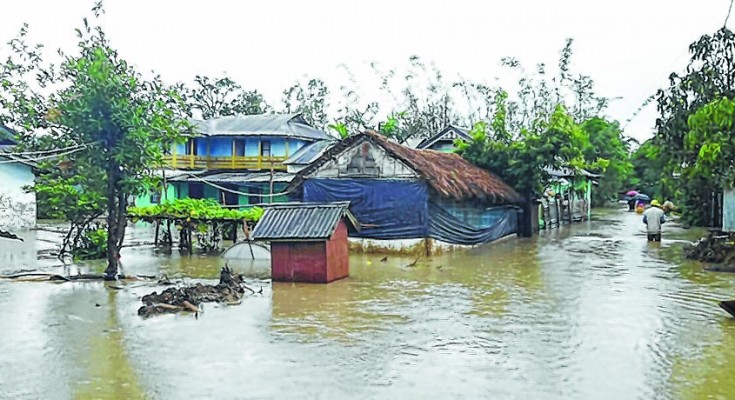
 IMPHAL, May 18: Incessant rain in the past 24 hours across the State has increased water level in all major rivers flowing through Imphal valley creating a panicky situation while many streets in Greater Imphal area have been inundated. Information received from ICAR, Lamphel said that Manipur witnessed rain of 103.1 mm in the last 24 hours. Kangpokpi witnessed rainfall 46.0 mm while Raj Bhavan recorded 34.0 mm of rainfall. In Litan rainfall was measured at 15 mm and at Saikul it was 38 mm. Lamphel witnessed heaviest rain at 37 mm in the last 24 hours.
Information from the Irrigation and Flood Control Department (IFCD) said that Imphal River is flowing at the warning level of 786.375 meters, when measured at Minuthong. At Irilbung, water level of Iril River is steadily rising and flowing at 781.375 meters, according to information. At Lilong, where both Iril River and Imphal River converge, the water level is recorded at 778.25 meters and increasing. At present Nambol River is flowing at 782.700 meters which is the warning level and Thoubal River currently flowing at 773.600 meters is reported to be rising steadily. Nambul River is currently flowing at 772.550 meters which is above the warning level, information added. Meanwhile incessant rain in the last 24 hours have inundated various places at Greater Imphal, reflecting the faulty drainage systems across Imphal city and its surrounding areas. Road stretch from Singjamei to Kawkwa with the road inundated with no means of draining away the rain water. In Greater Imphal area almost all the streets at Nagamapal, Sagolband, Keishamthong, Uripok and Keishampat, and Kwakeithel have been flooded creating inconveniences to local residents.


